Online Map: Use the Mapping System
| Property | Displays basic property information |
| Air Photo | Aerial photography of the City of Gosnells |
| Zoning | Town Planning Scheme 6 - Zonings and residential density codes |
| Development Plans | Approved outline development plans |
| Development Considerations | A property search will outline Council considerations required to develop the lot |
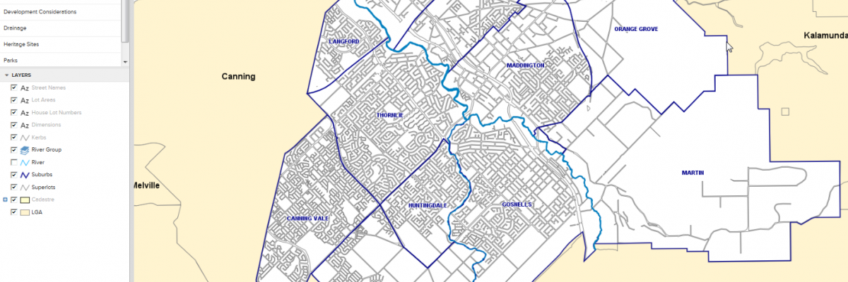
| Drainage | Drainage network within the City |
| Parks | Recreational park areas within the City |
| Dog Exercise Areas | Location of Dog Parks (unleashed areas) |
| Heritage Sites | Municipal, State and Aboriginal Heritage Sites |