Local Planning Scheme No. 24 (Local Planning Scheme)
Local Planning Scheme No. 24 (LPS 24) was gazetted on 30 September 2025 and is the principal statutory planning framework for the City of Gosnells (City). LPS 24 applies to all areas of the City, except for the Maddington Kenwick Strategic Employment Area (MKSEA) which is covered by Town Planning Scheme No. 6.
It consists of a Scheme Text and Scheme Maps, which are read in conjunction with the Planning and Development (Local Planning Scheme Regulations 2015) (Schedule 2 – Deemed Provisions).
The key function of the Scheme is to provide for the zoning and reservation of land, land use permissibility and development assessment parameters.
LPS 24 and the Local Planning Strategy were endorsed by Council at its meeting on 23 February 2021, following a six month period of public consultation. Both planning documents were then considered by the Statutory Planning Committee on 11 December 2024. The final Local Planning Scheme No. 24 was endorsed by the Minister for Planning on 8 September 2025 and gazetted on 30 September 2025.
Town Planning Scheme No. 6 (MKSEA)
Town Planning Scheme No. 6 was gazetted on 15 February 2002 and has been amended to become the principal statutory planning framework for the MKSEA.
Local Planning Scheme No. 24 Text
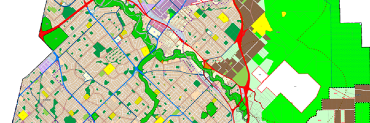
Local Planning Scheme No. 24 scheme map
Town Planning Scheme No. 6 Text
Town Planning Scheme No. 6 scheme map
Local Planning Scheme No. 24 Heritage List
Planning and Development (Local Planning Scheme) Regulations 2015
Mapping Tool
Check the Zoning of a Property using the City's Online Mapping System
FAQs
What is a local planning scheme?
A local planning scheme sets out the zoning and reservation of land, permissible land uses, the scale of development and other important information relating to subdivision and development across the City. It forms the basis for all planning decisions made by the City.
Why does the City need a new Local Planning Scheme?
All local governments are required to regularly update their local planning schemes to reflect their community's changing demographics and needs. Planning legislation and practices have undergone significant change over time. By preparing a new Local Planning Scheme the City is ensuring our planning rules are up-to-date with current legislative requirements and are clearer and easier to use.
How can I find out whether the proposed changes affect my property?
Use the mapping tool on this page to see what the zoning of your property is under Local Planning Scheme No. 24.
What are the key changes in the new Local Planning Scheme No. 24?
- Align LPS 24 with the State Planning Regulations by removing the parts already covered under this legislation.
- Provide greater clarity and consistency about how land can be used by reducing the number of zones across the City using land use terms consistent with the current state standards and introducing new land uses.
- Protect the City's existing lower density neighbourhoods by continuing to focus growth in Activity Centres and along Urban Corridors.
- Remove layers and complexity and ensure development standards are easy to find.
- Increasing densities will create greater choice in housing types, including multiple and grouped dwellings. This will improve housing affordability, create jobs closer to home, encourage use of public transport and reduce car dependency.
- R-code and Zoning changes
- Orange Grove and Martin - Rural Areas. 'Rural' and 'Rural Residential' have replaced 'General Rural' and 'Special Rural' zonings. The Rural Residential zone applies to many areas of Orange Grove and Martin and limits those uses to protect the rural amenity and lifestyle of residents in the area.
- Infill Development Areas allow for higher density coding around areas like shopping centre and train stations.